Alameda Trailhead - Alameda Bridge - Loma Larga bike route - Casa San Ysidro - Corrales Road bike route - Route 528 bike route - Santa Ana Star Casino - Tamaya Resort - Rio Rancho blvd bike path - Intel plant
Loma Larga Bike Route
Most of this route is actually not in the city of Albuquerque but in its northern suburbs and outlying areas. There are considerably less sights than the previous routes but there is plenty of variety on this route. Rio Rancho and Corrales are neighboring suburbs but are as different as night and day.
This ride is mostly bike lane and shoulder but there is some street riding. The portion of the route in Corrales is almost completely flat but the Rio Rancho section has a few rolling hills. It is mostly safe but a few sections do have heavy traffic.
There are three distinct parts to this route. The first part is the slow, easy ride through the semi-rural village of Corrales. Part two is the challenging rolling hills of the Route 528 bike lane. The final part is through the dynamic suburb of Rio Rancho.
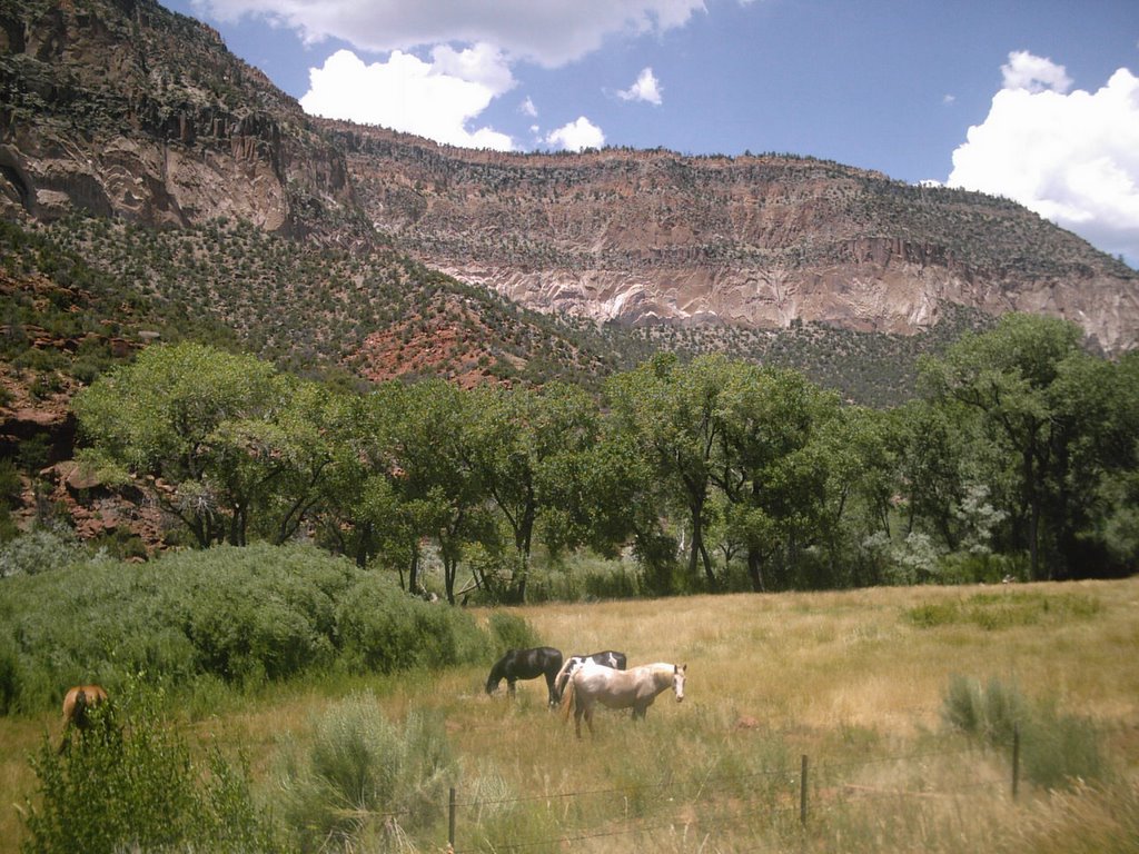
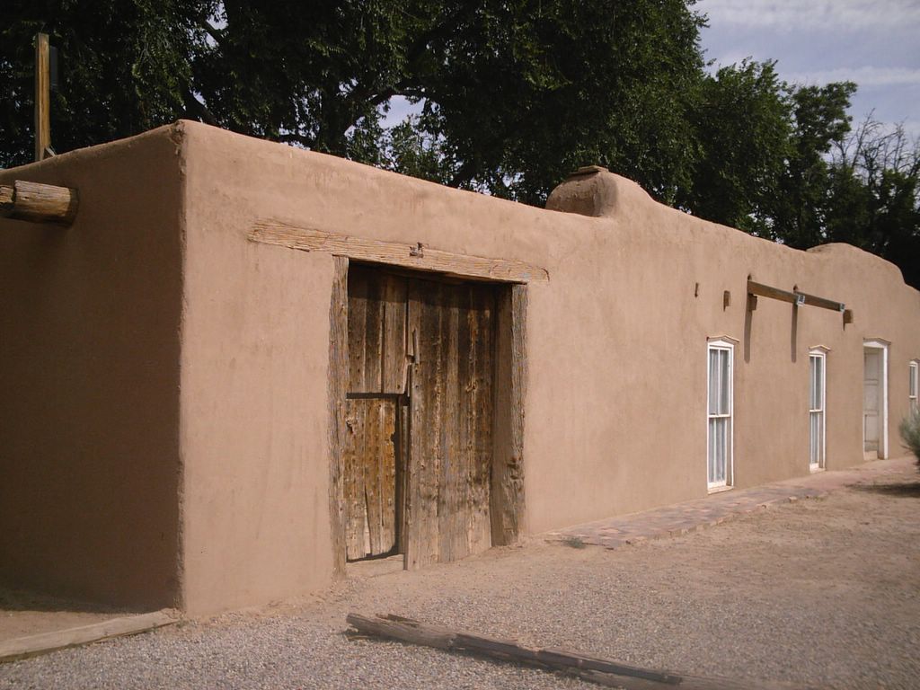
The village of Corrales is a classic Southwestern town with brown adobe houses and corrals full of horses. You won't find many green lawns in front of these adobes, just the natural desert vegatation of sage, wildflowers and juniper. I believe the village dates back to the 1700's but is now known for its artistic community and Bed and Breakfasts.
 Corrales House
The City of Rio Rancho is the classic All-American suburb. It consists of single-family homes with green lawns or xeriscaped front yards. Rio Rancho only dates back to the 1970's but has quickly become the fourth largest city in New Mexico. Its biggest landmark is the gigantic Intel plant just across the city line from Albuquerque.
Beginning the route:
Section One: Alameda Trailhead to Route 528 (8.2 miles)
A good place to begin is at the Alameda Trailhead parking lot as featured in the Bosque Trail blog. The Alameda Trailhead is also the beginning point of the Bosque Trail, so you could combine the Rio Rancho-Corrales loop with all or part of the Bosque Trail for a longer ride.
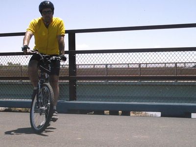
The route heads right as you leave the parking lot. It immediately passes under Alameda Blvd which will take you to the Alameda Bridge. There are actually two bridges where Alameda Blvd crosses the Rio Grande. One bridge is for automobile traffic and the other is for pedestrians, bicycles and horses. The pedestrian bridge is wide enough for automobiles and may have been used for automobile traffic at one time. There is a great view of the Rio Grande and the Sandia mountains on the north side of the bridge.
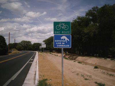
After you cross the bridge, you will stay on the sidewalk for about a half a mile. The sidewalk is wide and is rarely used by pedestrians. When you reach the intersection of Alameda and Coors rd, the route will make a right turn towards Corrales. This is a busy intersection and there is very little shoulder but we won't be on this road for very long. Coors road, which now becomes Corrales road is not a good bicycle route. This is the main road through the village and is where the main commerical district is located. There is almost no shoulder on this part of the road and it not very safe.
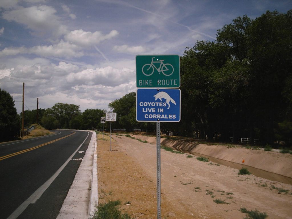
The best way to ride through Corrales is on Loma Larga road just a few blocks west of Corrales road. The village recently finished a bike lane which runs most of the length of Loma Larga. It runs through mostly residential areas and has very light traffic.
Loma Larga road is only about a half a mile from the intersection of Alameda Blvd and Corrales road. Just take Corrales road about 100 yards to Calle Cuervo and make a left at the Diamond Shamrock station. Calle Cuervo ends at Ellison road. If you make a right turn on Ellison, it shortly becomes Loma Larga road.
We now leave the city of Albuquerque and enter the village of Corrales. This is also where Bernalillo county ends and Sandoval county begins.
Loma Larga road mostly runs the north-south length of the village roughly running parallel to main Corrales road. There are no commerical buildings, like convenience stores but you can easily reach Corrales road by one of the many side streets. This is a very flat road in a residential area. Most of the houses here are in the pueblo or adobe style. There is a rugged look to this residential area. Many of the side streets are unpaved and the houses are not laid out in a uniform pattern like most suburbs.

Jones Urban Pond Monument
There is a monument on Loma Larga dedicated to a local volunteer, Annette Hise Jones who worked to preserve urban ponds in the area.
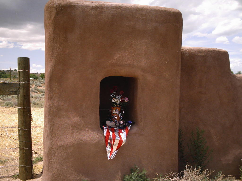
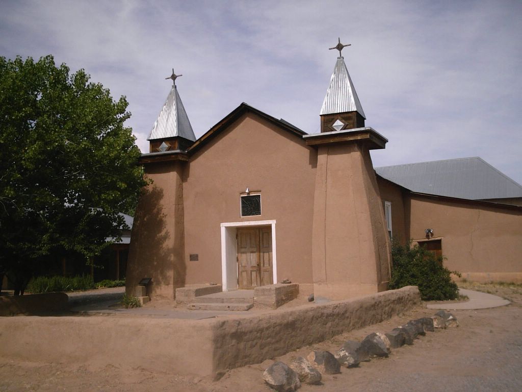
There is one stop you may want to make on the Corrales section of the route. It is Casa San Ysidro , a living museum of a 19th century New Mexico ranch house. Although it is located in the village of Corrales, it is part of the Albuquerque Musuem of Art and History.
Casa San Ysidro is located just a half mile off Loma Larga road. There is a sign at the side street of Mission Valley road. The house is located at a small crossroads near a church and a cemetary.

Casa San Ysidro
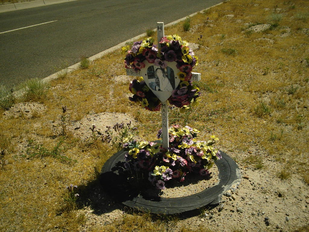
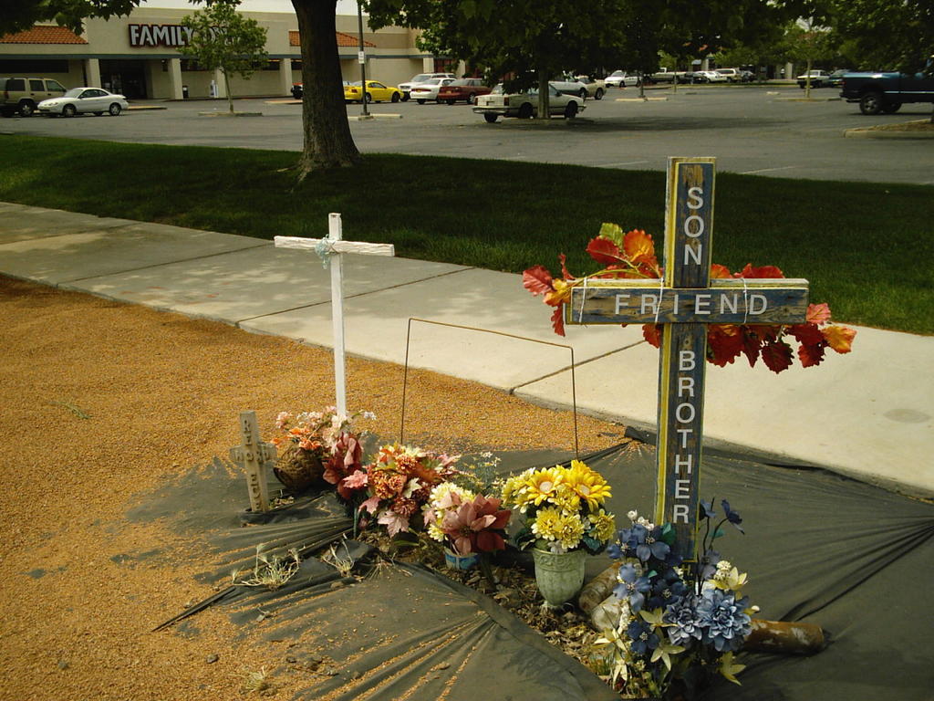
The cemetary is not very well kept but has very interesting grave markers. Some are simple military-style marble stones like you would see in a National Cemetary. Others are improvised with wrought iron enclosures with park benches and astroturf and there are also Lady of Guadalupe shrines. They all seem to be improvised and maintained by relatives and friends.
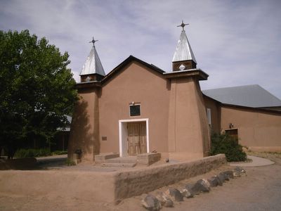
San Ysidro Church
About two and a half miles past Casa San Ysidro, Loma Larga comes to an end at Corrales road. The route continues for about a mile and a half on Corrales road with a very narrow shoulder and some uneven pavement. However, the traffic is not very heavy for this stretch of road and it is generally safe.
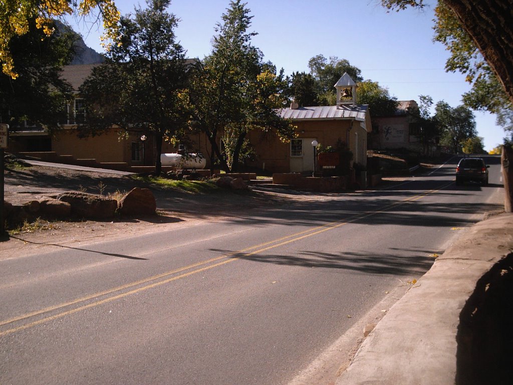
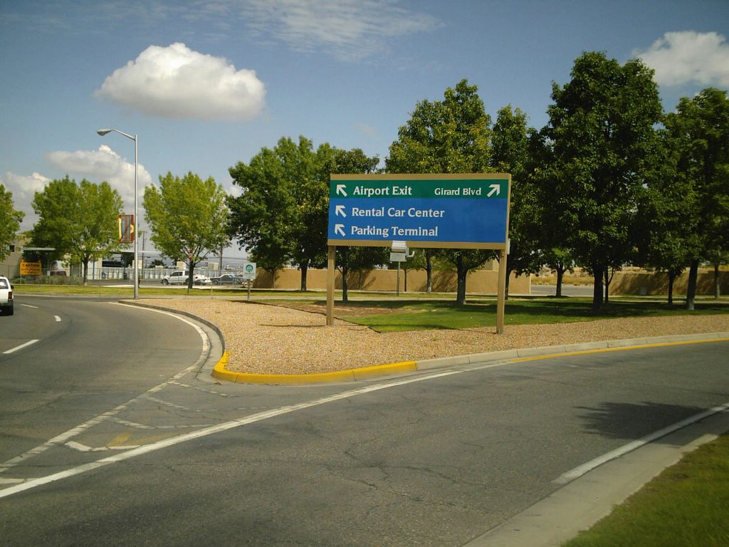
Corrales road then ends at Route 528 and the route enters the city of Rio Rancho. The route then makes a right turn onto Route 528 at the Giant convenience store. The Giant is a good place to stop and rest. It has a few picnic tables and you can refill your water bottle.
Route 528 to Santa Ana Casino Roundtrip (11.2 miles)
From the Corrales road junction, Route 528 is mostly long, rolling hills. There is an adequate shoulder for riding but traffic does travel at high speed. Even so, this is a very popular route with serious bike riders in the Albuquerque area. On Saturday mornings you will see packs of cyclists on this section of the route.
Route 528
This section of Route 528 has very few cross streets and very few traffic signals. This is much of the appeal of Route 528. There are few interruptions along the route. There are only a few entrances to the River's Edge subdivisions along the route. The route is generally straight but with long, rolling hills that don't give you much trouble.
After the route leaves the River's Edge subdivisions (there are three) it enters Enchanted Hills. Route 528 crosses and recrosses the Bernalillo city limits several times but we never really leave Rio Rancho. The route comes to an end at Route 44 and the Santa Ana Pueblo Indian reservation. This is where the Santa Ana Star Casino and the Hyatt Regency Tamaya Resort and Spa are located.
The casino is run by the Santa Ana Pueblo Indian Tribe but I believe it is actually located in the town of Bernalillo. The town is located a few miles east on State Road 44 in the direction of the Sandia mountains. Bernalillo is not very accessible by bicycle from here but there will be a trail to Bernalillo to the Alameda Trailhead sometime next year.
Until the casino was built a few years ago there wasn't very much at the intersection of Routes 528 and 44. Now the intersection has a casino, resort, golf course, soccer complex, restaurants and other businesses. The intersection is starting to fill in with more houses.
The Tamaya Resort is actually a few miles down Route 528 past the Tamaya gates, though it is not accessible by bicycle. I tried to reach the resort but there is a sign on the road where you turn off that says "No Bicycles".
We are not here to play blackjack or to get a facial, so it is back on the bike and back to Albuquerque. The casino is at the far north end of the route and we head back the way we came. It is the bike lane on Route 528 headed south towards the Corrales road intersection.
When the route reaches the Corrales road intersection at the Giant convenience store, it continues on Route 528 into the city of Rio Rancho.
Corrales road intersection back to the Alameda Trailhead (8.4 miles)
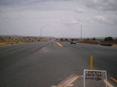
The Route 528 bike route continues through the city of Rio Rancho. The route is still mostly shoulder and there is a fair amount of debris and uneven pavement for the next few miles. I do consider this a safe bike route even though traffic does increase as it gets closer to the center of Rio Rancho. Just be careful from the Corrales road intersection to Southern blvd.
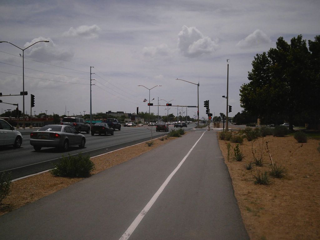
When you reach Southern blvd, there is a genuine bike trail! The city rebuilt this section of Route 528 (Rio Rancho blvd.) just a few years ago and they did include a bike trail on the east side of the street.

Rio Rancho blvd bike route
This is a good bike path but it does cross several intersections at street level. Since it is a new path many drivers are not familiar with it and do not look as they make a right turn. Some crossings do not have a traffic light. Be careful when you cross any street in this area as motorists may not be expecting a bicycle.
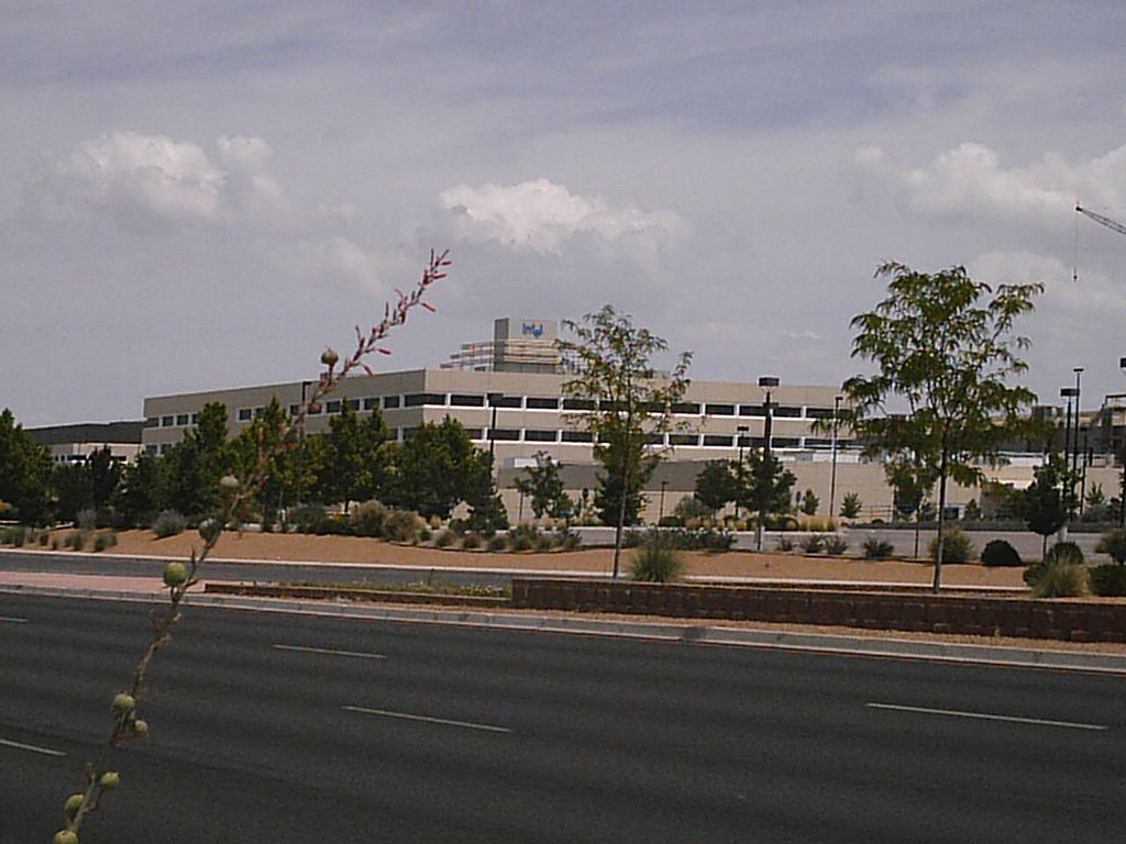
The biggest landmark on this route is the huge Intel plant near the intersection of Sara road. It stretches for about a half a mile along Rio Rancho blvd. It was built in the mid 1990's and is one of the largest employers in the Albuquerque metropolitan area. In fact, Intel helped pay for the road improvements to Rio Rancho blvd due to a 5:00 bottleneck at this location.
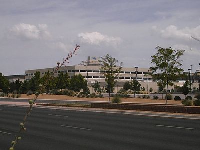
Rio Rancho Intel plant
As you pass the Intel plant and come to Westside, the route crosses over Rio Rancho blvd to where Don Chalmers Ford is located. You can find it by the large American flag. Do not try to go down the hill on Rio Rancho blvd as there is no safe bike lane.
The route goes makes a right turn past Don Chalmers on the American road. There is an enormous hill just a quarter of a mile later. You will be glad you rode the route in this direction because it is a very steep hill. It's one of the steepest in the metropolitan area.
At the bottom of the hill you can make a left on Cottonwood drive even though it says you can't make a left turn. There is a small concrete barrier to keep cars from making a left but a bicycle can get through. There is rarely any automobile traffic on this road. This will take you back into the village of Corrales. Make a left on Cielo Vista del Sur and it will take you back to the beginning of the Loma Larga bike route. Once you have reached this point, you can do the first part of the route from the Almeda trailhead to the Loma Larga bike route in reverse.
What I enjoy about this ride is that you can see the past and future of the middle Rio Grande valley in one ride. The past is in the traditional village of Corrales with Casa San Ysidro. The future is in the growing city of Rio Rancho and the Intel plant.
Also, it demonstrates the advantages of cycling versus driving an automobile. This is a route I discovered by necessity. I was trying to find a better way to access the city of Rio Rancho than by the big hill on the American road. I ended up discovering the Loma Larga route in the process. I had never before driven on Loma Larga road and would likely have never seen the Urban Pond monument and Casa San Ysidro. You never know what you will find on a bicycle.
Thanks for visiting.
-Brian
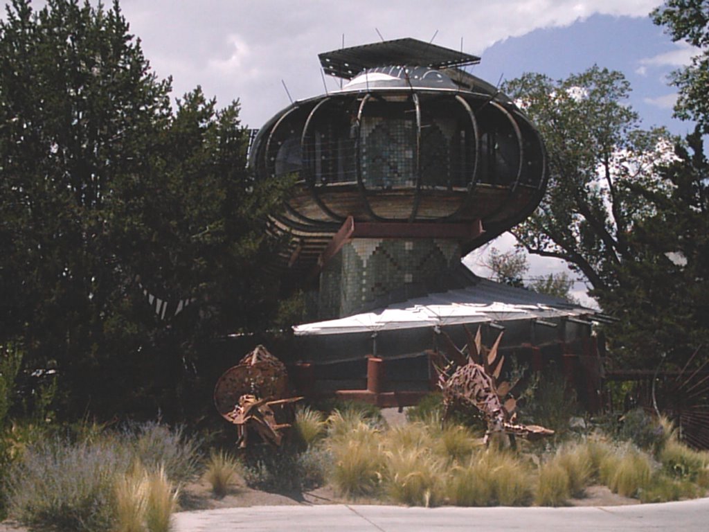 The Bart Prince "UFO" house (Monte Vista neighborhood)
 Vietnamese Lumberjack near Louisiana and Central.
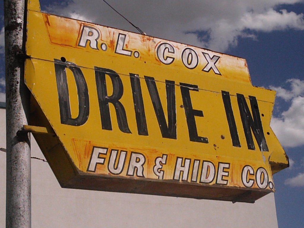 What self-respecting city cannot boast a drive-in fur and hide company?
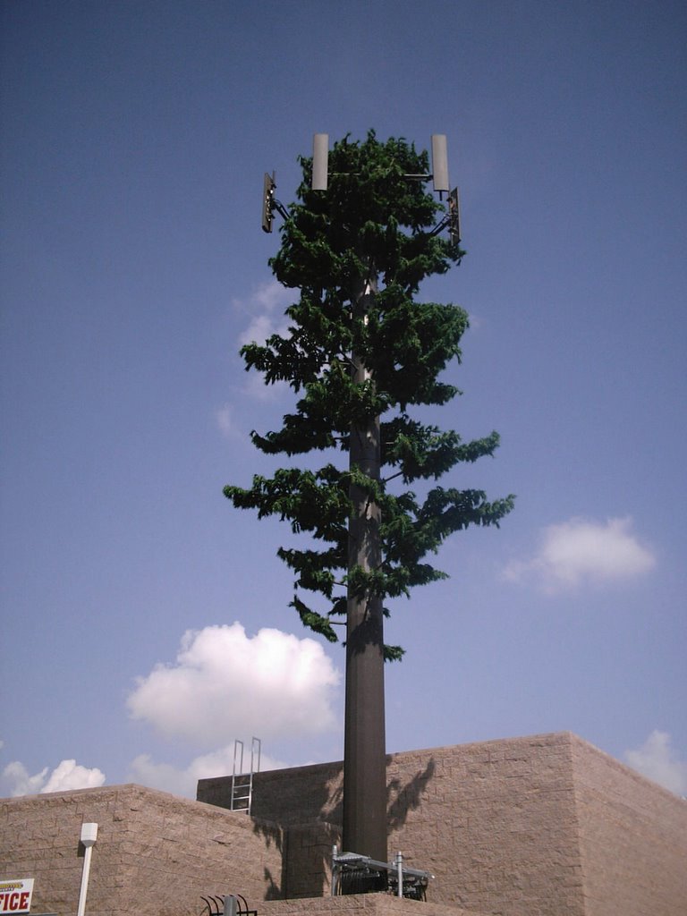 Antenna with pine branches (Paradise Hills neighborhood)